


The Atlanta Beltline – the municipal entity overseeing the development of a future 22-mile light rail transit line – has published its final recommendations and next steps for the Beltline Transit Study after three and a half years of work.
If implemented, the recommended project direction would cost an estimated $3.5 billion.
The report outlines the Beltline’s vision for the future of the corridor, ultimately creating an expansive network designed to provide pedestrian-friendly transit options while providing the critical support needed for future mixed-use development. In the plan’s vision, the corridor would support and connect to 33 miles of multi-use urban trails, 1,300 acres of greenspace, 1,100 acres of environmental cleanup and 5,600 affordable workforce housing units.
The Atlanta Beltline identified solutions that, once executed, will establish a unified mobility network throughout the city by integrating Beltline Transit with the Beltline Trail and the Metropolitan Atlanta Rapid Transit Authority (MARTA) rail. Completing the loop would serve as a major catalyst for the region, yielding a projected $10 billion in future economic development opportunities.
The proposed transit corridor would provide a sustainable transportation network with ample connectivity for the local community. In previous updates, the Atlanta Beltline identified routes and stations along the 22-mile loop, narrowing its selections to three transit alignments in the northwest quadrant: CSX, Peachtree and Ottley. The latest update finalized the CSX alignment as the entity’s preferred option.
The CSX alignment provided the best benefit-to-cost ratio compared to the other two alternatives in consideration. Through the preferred route, the line would have the lowest capital cost while providing the fastest average speed and lowest travel time for riders. The alignment also would have the highest ridership and provide direct service to Piedmont Hospital.
The Atlanta Beltline has already chosen its preferred alternatives for the corridor’s southwest and southeast quadrants, creating a three-route light-rail system. With all preferred route alternatives chosen, the final station recommendations for the proposed alignment include:
- Donald Lee Hollowell Parkway.
- Joseph E. Boone Boulevard.
- Martin Luther King Jr. Drive.
- Langhorn/Enota.
- Ralph David Abernathy Boulevard.
- Murphy Avenue.
- Metropolitan/Pittsburgh Yards.
- Pryor Road.
- Milton Avenue/Hank Aaron Drive.
- Hill Street.
- Boulevard.
- Glenwood Avenue.
Once the transit corridor’s operations are in full swing, the routes would provide 18.5 hours of daily service with the assumption that it would run between 6:00 a.m. and 12:30 a.m. The three-route system would provide bi-directional service, split between the Beltline, Northern and Southern loops. The Beltline Loop covers the entirety of the Beltline, while the Northern and Southern loops would provide connections to the city’s downtown areas.
The Atlanta Beltline stated that each route would have 20-minute headways, leaving riders with 10-minute headways at platforms. In addition, the line would have access to MARTA heavy rail infill stations and provides a one-seat ride anywhere in the network.
Cost estimates for constructing rail lines across all quadrants, as well as crosstown west and east, amounts to slightly more than $3 billion. In addition to building the rail, the Atlanta Beltline plans to invest another $270 million to procure 42 transit vehicles and $210 million to build support facilities across the network.
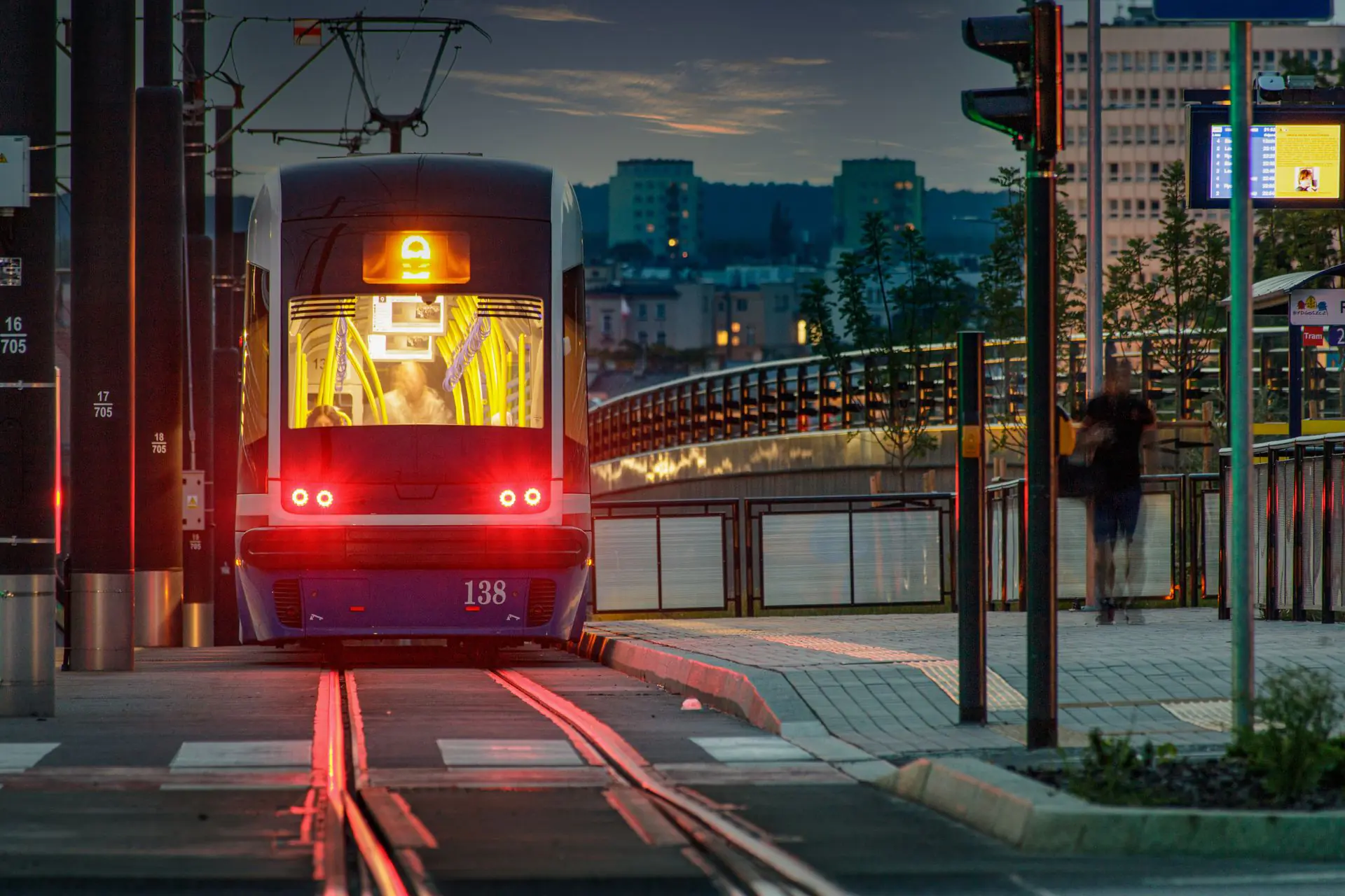
Photo by Jacek Plak from Pexels
For more of the latest from the expansive government marketplace, check Government Market News daily for new stories, insights and profiles from public sector professionals. Check out our national contracting newsletter here.