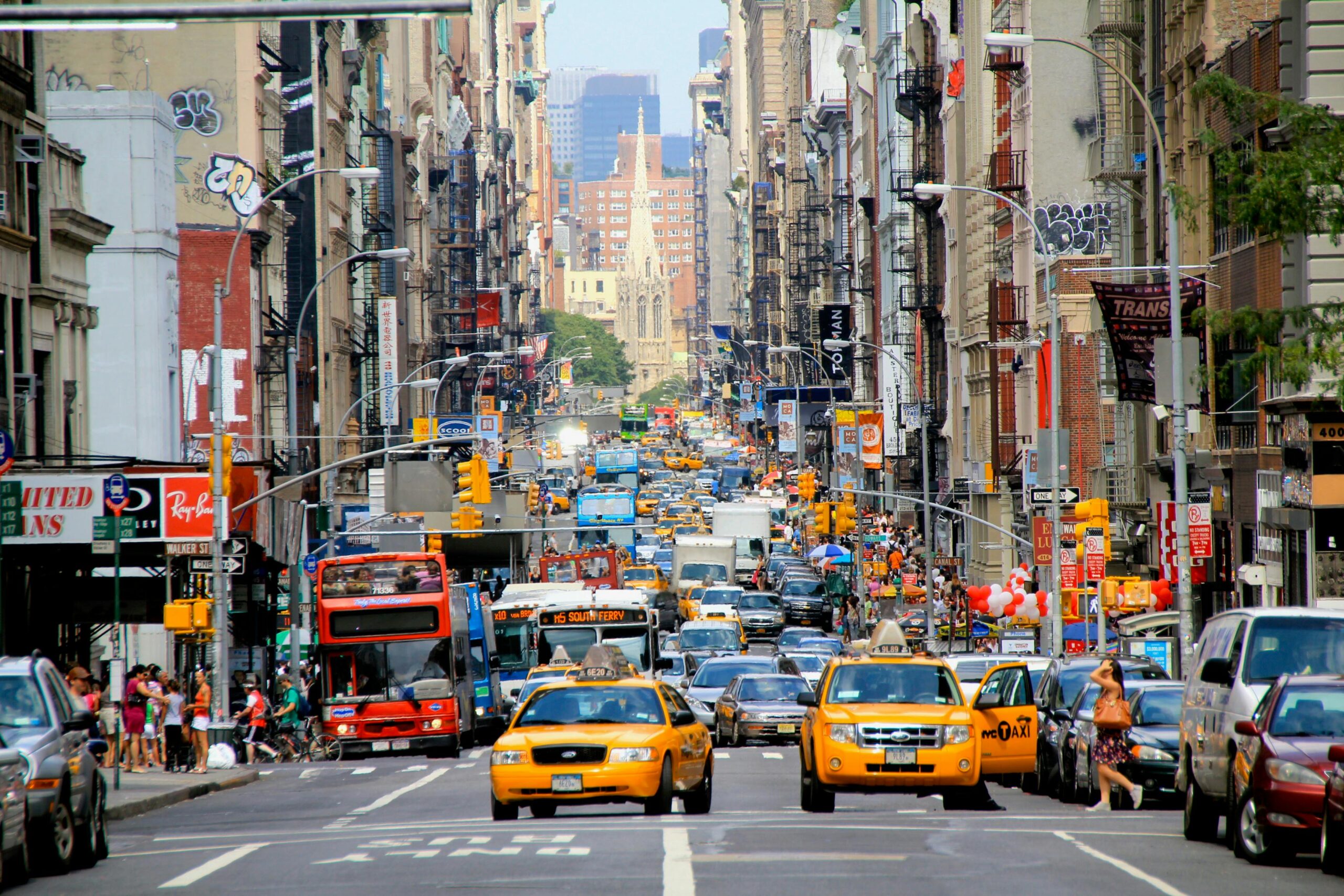
New York City is looking to dramatically speed up its transportation infrastructure projects through artificial intelligence and enhanced data collection. Mayor Eric Adams today announced “How NYC Moves,” a comprehensive plan containing 21 recommendations to streamline the planning and review processes for major transportation projects using emerging technologies and improved data collection methods.
The plan, developed in partnership with Cornell Tech’s Urban Tech Hub, looks to transform how the city conducts transportation analysis – a portion of the project review process that currently adds substantial time and cost to development projects.
The analysis adds approximately 9% to overall project costs, translating to about $67,000 per high-rise apartment or $430 in monthly rent, according to the most recent study by the city.
RELATED: To meet AI energy needs, big tech chooses the nuclear option
“New York City’s struggles with traffic congestion are legendary, and now advances in data science are giving us never before seen opportunities to measure, optimize and improve the traffic flow on our city streets,” said Michael Samuelian, director of Cornell Tech’s Urban Tech Hub, in a press release.
One major recommendation is leveraging the city’s existing infrastructure of cameras and sensors. Currently, several thousand closed-circuit and internet-connected cameras owned by public agencies capture street-level video feeds within the city. That includes 900 DOT traffic management cameras, 5,100 MTA street-level cameras, and over 18,000 NYPD-accessible cameras. According to the city, these could be augmented with computer vision technology to provide continuous traffic count data.
The plan calls for establishing a centralized transportation data repository that would combine information from these fixed cameras with other sources like connected vehicles and location-based services. This consolidated database would serve as the foundation for a virtual replica of the city’s transportation network that could simulate traffic patterns and test different scenarios without lengthy manual studies.
Another major focus is eliminating the current restrictions on when traffic data can be collected. The city’s existing “blackout” calendar prohibits data collection during holidays, school breaks and various other periods, leading to significant project delays. The plan recommends developing models for continuous, year-round data collection with seasonal variations mathematically accounted for.
The recommendations also target inefficiencies in the environmental review process. The plan suggests expanding categories for environmental exemptions and adjusted thresholds, particularly for transit-rich areas or specific types of projects like transit and pedestrian improvements. This builds on the success of the city’s recent “Green Fast Track” initiative.
The plan proposes automating several routine procedures and transportation analysis steps. This automation would draw from standardized data sources and use software to streamline calculations that currently require significant manual effort. For implementation, the plan would modernize procurement processes to better accommodate emerging technologies. This includes exploring challenge-based procurement to accelerate the deployment of new sensors and data products while avoiding reliance on a single vendor.
The recommendations also call for targeted staff training programs, such as “Big Data for Traffic Engineers,” to ensure city personnel can effectively utilize new tools and data sources. These programs would be supplemented by agency-wide workshops on data handling and best practices for data privacy.
Photo by Nicola Vidali


