In our first episode of Season 2, Mary Scott Nabers interviews Richard Wade, the geographic information officer for Texas, about the transformative technology of LIDAR.
The system, called BEACON, utilizes AI to capture, prioritize, deliver and translate public safety information from officials, then creates voice broadcast updates and advisories in multiple languages and localizes this content based on geography.
NOAA will use the funds to develop transparent climate information for users to guide critical decision-making processes for infrastructure deployment, energy systems deployment and financial investments.
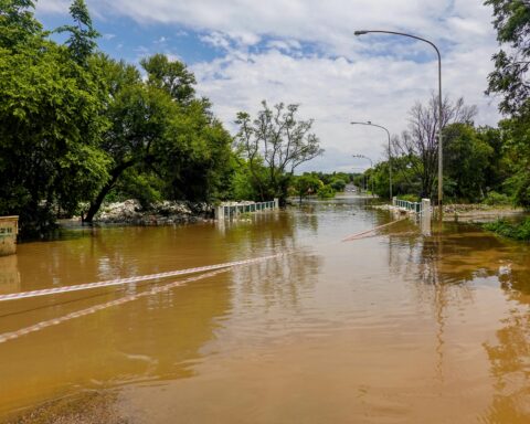
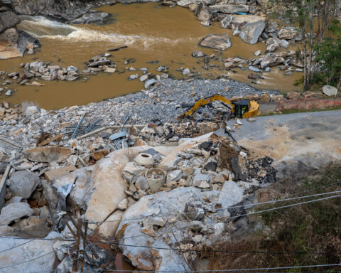
Western North Carolina was especially hard-hit, with significant damage to roadways from flash flooding, landslides, road washouts and bridge collapses.