


Major cities across the nation are sinking, affecting more than 34 million people and putting thousands of buildings at risk, according to newly released satellite data. Urban regions that have seen the greatest amount of subsidence include:
- The Houston-Galveston area, Texas.
- Phoenix, Arizona.
- The Las Vegas Valley, Nevada.
- The Mississippi Delta, Louisiana.
- Major cities along the East Coast.
- Alaska.
An online journal used satellite data covering the past six years to identify the 28 most populous across the nation that are sinking the fastest at rates between 5 and 10 millimeters (mm) per year. Texas has some of the most impacted areas with major cities including Houston, Fort Worth and Dallas sinking more than 4 mm per year. The data shows Houston is the most heavily affected by urban subsidence, with more than 40% of its land area sinking more than 5 mm per year and 12% sinking up to 10 mm.
The 28 identified metropolitan areas have an average of 20% of their urban land subsiding. About 17,900 square kilometers of land is cumulatively sinking across these cities. Additional city centers ranking among the most exposed to land subsidence include:
- New York.
- Los Angeles.
- Chicago.
- Phoenix.
- Las Vegas.
- Denver.
- Detroit.
- Seattle.
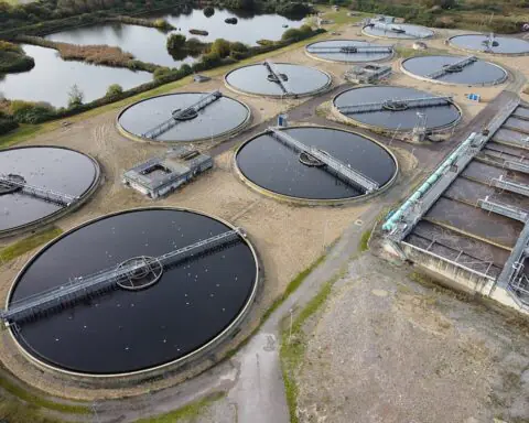
Traditionally associated with coastal communities, land subsidence is affecting an increasing number of landlocked urban areas, the data finds. There are many factors that contribute to widespread subsidence, depending on regional variability like tectonic activity along the West Coast. However, the predominant cause for ongoing subsidence is human-driven, particularly due to groundwater extraction. Pumping water out of aquifers lowers water levels, increases stress on underground layers and results in compaction of vulnerable aquifer systems, leading to subsidence.
As urban subsidence worsens due to ongoing development, climate change and other types of human interference, urban infrastructure will be put at increasing risk of disaster. Subsidence exacerbates flood hazards, making cities more vulnerable to flooding and water will more easily collect in specific regions with limited conveyance options.
Currently, around 29,000 buildings are in the high-risk and very-high-risk areas in the 28 named cities. The ratio of these buildings to the total buildings in each city are highest in:
- San Antonio – 1 in 45.
- Austin – 1 in 71.
- Fort Worth – 1 in 143.
- Memphis – 1 in 167.
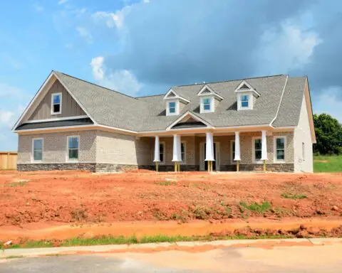
San Antonio stands out as one of the highest-risk cities for damage from land subsidence, with by far the largest number of buildings assessed as vulnerable to sinking. The city currently has 8,754 that are high-risk and 1,515 that are very-high-risk. More than 80% of the city’s infrastructure is expected to be impacted, including buildings, bridges and roads.
Being at high risk doesn’t necessarily mean the buildings are going to imminently fail. There are many other factors at play for determining overall risk to the buildings, such as soil type, foundation materials, construction materials, building age and more. However, subsidence risk does tilt the scales toward greater risk and must be strongly considered when finding where new development should be prioritized to avoid future damage.
Subsidence is a slow process, and cities still have the opportunity to take proactive action and address these issues before they become unmanageable. Mitigation and adaptation efforts typically revolve around enhancing infrastructure resilience, retrofitting essential infrastructure and relocating and limiting buildings in high-risk areas.
Photo by Peter Fazekas via Pexels