

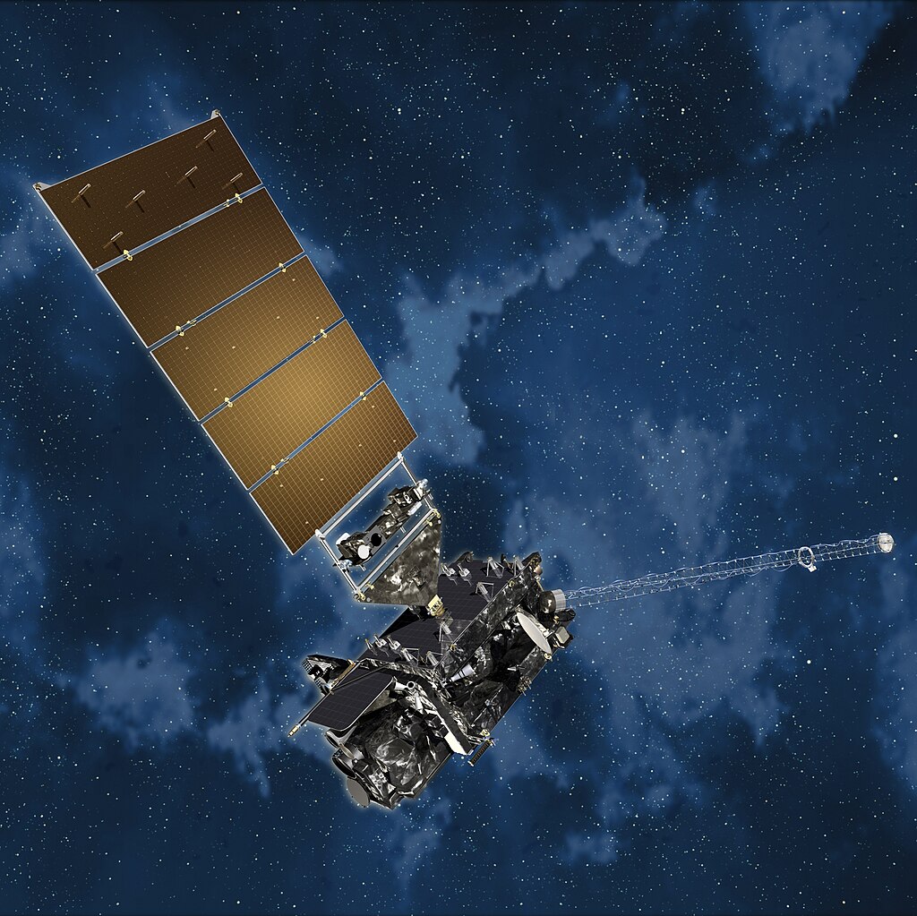
The Department of the Interior (DOI) will collaborate with the National Oceanic and Atmospheric Administration (NOAA) to leverage satellite technology to advance and expand early wildfire detection capabilities. The DOI will use the NOAA Geostationary Operational Environmental Satellite – R series (GOES-R) to quickly detect and report wildfires before they escalate.
The satellite detection initiative is supported by a $20 million investment from the DOI and the Department of Agriculture (USDA), each contributing $10 million to the project. The satellite network will use advanced remote sensing capabilities to enhance the agencies’ wildfire detection speed and accuracy.
GOES-R satellites can regularly pinpoint wildfires before they are identified on the ground or reported to emergency services. The agencies can then develop an early warning center using the satellite network’s data to provide firefighters with in-depth information and insights into the conditions and status of wildfires. This ensures the DOI and USDA can detect hot spots faster as well as track wildfire progression in real-time, providing emergency responders with critical up-to-date information.
As wildfires grow in scale and severity, precise wildfire tracking will improve interagency efforts to protect public health and communities. In addition, the network observes and monitors smoke from fires. The satellite network will provide an aerial perspective for agencies to direct efforts and track the exact location and drift of smoke.
Smoke detection and monitoring will also provide information for air quality forecasts. Communities will be able to use these forecasts to assess risks and develop climate solutions to protect public health.
The collaboration between the DOI and NOAA aligns with recommendations set out by the Wildland Fire Mitigation and Management Commission. The Commission released a report in 2023 outlining 148 recommendations to improve wildfire management and response. The use of the GOES-R satellite system advances the report’s recommendations to expand wildfire detection system usage and enhances interagency collaboration.
Photo courtesy of NOAASatellites